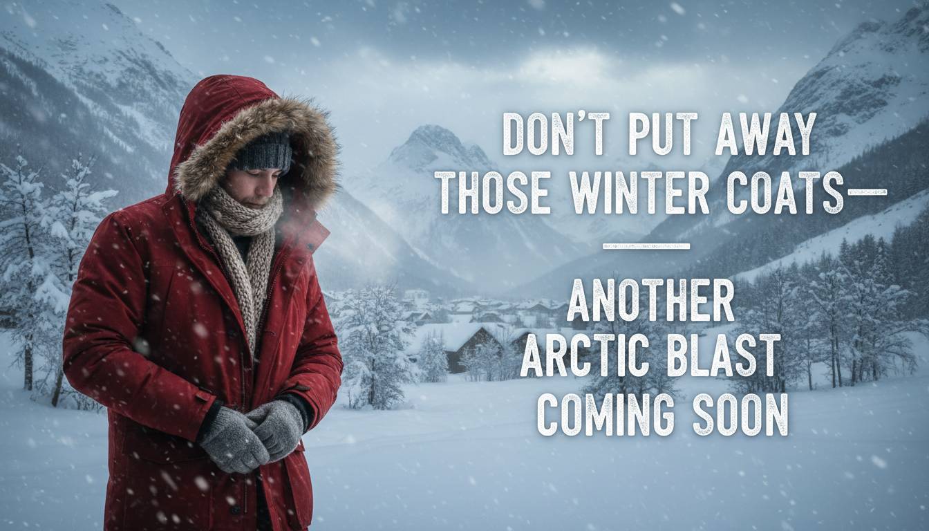
As spring teases the nation with unseasonably warm temperatures, a stark reminder of winter’s persistence is on the horizon. A fast-moving Alberta Clipper storm, fueled by a fresh surge of Arctic air, is set to sweep from the Midwest to the Mid‑Atlantic early next week. This system threatens to blanket regions still recovering from Winter Storm Hernando with snow, ice, and frigid temperatures—making it clear: don’t put away those winter coats just yet.
A New Arctic Blast Takes Shape
Meteorologists are tracking an Alberta Clipper—a compact, fast-moving winter storm that typically forms near the Canadian Rockies and races southeast across the northern U.S. This system is expected to deliver:
- 4 to 8 inches of dry, powdery snow across parts of the Midwest, particularly Iowa .
- More than 10 inches of snow in parts of the Mid‑Atlantic, including Virginia and West Virginia .
- A potential wintry mix or up to 0.5 inches of ice from Kentucky through Virginia and into North Carolina .
Although the storm is fast-moving, its timing and intensity could still disrupt travel, especially in areas already impacted by recent winter weather.
Why This Arctic Blast Matters
This Arctic surge arrives on the heels of Winter Storm Hernando, which pummeled the Northeast from February 22 to 24. That storm delivered record-breaking snowfall—up to 37.9 inches at Rhode Island’s T.F. Green Airport—and left over 600,000 customers without power .
The new Clipper system threatens to compound the region’s challenges:
- Fresh snow and ice could exacerbate hazardous road conditions and delay recovery efforts.
- Power infrastructure, already strained by Hernando, may face additional stress.
- Even modest ice accumulation can lead to tree damage and localized outages.
Forecast and Regional Impacts
Midwest and Ohio Valley
Iowa stands to receive the heaviest snowfall, with 4 to 8 inches expected. The dry nature of the snow, combined with strong winds, may lead to blowing snow and reduced visibility .
Mid‑Atlantic and Northeast
Virginia and West Virginia could see over 10 inches of snow. Meanwhile, areas from New York City to Boston may receive a few inches of snow, adding to snowpack left by recent storms .
Ice Threat Zone
A swath stretching from Kentucky through Virginia into North Carolina may experience freezing rain or sleet, with up to half an inch of ice possible in localized areas .
Expert Insights
According to AccuWeather’s long-range expert Paul Pastelok, “Don’t put your winter jacket and gloves away just yet. Winter is far from over.” He warns that a wobble in the polar vortex could usher in frigid air during the week of March 17, even as springlike warmth briefly takes hold .
NOAA scientist Amy Butler adds that a sudden stratospheric warming event—a rare disruption of the polar vortex—could trigger another wave of Arctic air later in March, despite the current warm surge .
Implications for Stakeholders
- Commuters and Travelers: Expect slick roads, reduced visibility, and potential flight delays. Ice and snow may slow down recovery efforts from previous storms.
- Utilities and Infrastructure: Power grids and tree limbs weakened by Hernando may be vulnerable to further damage from ice accumulation.
- Schools and Businesses: Snow and ice could prompt closures or delays, particularly in Mid‑Atlantic and Northeast regions.
- Emergency Services: First responders should prepare for increased demand due to weather-related incidents.
What to Expect Next
- Snowfall and Ice: Accumulations could range from a few inches to over a foot, depending on location.
- Temperature Drops: Arctic air will bring sharply colder temperatures, especially during overnight hours.
- Brief Warm-Up: A temporary warm spell may follow, but experts caution that winter is not yet over .
- Potential for More Cold: If the polar vortex weakens further, additional cold snaps may follow later in March.
Conclusion
With another Arctic blast on the way, now is not the time to retire your winter gear. The fast-moving Alberta Clipper will bring fresh snow, ice, and frigid temperatures to regions still recovering from recent storms. From the Midwest to the Mid‑Atlantic, communities should brace for renewed winter impacts. Experts warn that spring’s warmth may be fleeting, and the polar vortex could yet deliver more cold. Stay prepared, stay informed, and keep those winter coats within reach.
Frequently Asked Questions
What is an Alberta Clipper?
An Alberta Clipper is a fast-moving winter storm that forms near the Canadian Rockies and travels southeast across the northern U.S., often bringing light snow and sharp temperature drops.
How much snow is expected?
Forecasts suggest 4 to 8 inches in parts of the Midwest (especially Iowa) and over 10 inches in parts of the Mid‑Atlantic, including Virginia and West Virginia.
Will there be ice?
Yes. A wintry mix or up to 0.5 inches of ice is possible from Kentucky through Virginia into North Carolina.
Why is winter returning when spring has begun?
A sudden stratospheric warming event may disrupt the polar vortex, allowing Arctic air to plunge southward—even as springlike warmth briefly arrives .
Should I keep my winter coat?
Absolutely. Experts advise that winter is not over, and additional cold snaps may follow later in March.
How can I stay safe?
Monitor local forecasts, prepare for slick roads and power disruptions, and keep emergency supplies handy.
View 0 comments